| view 👀:38 |
🙍 oneddl |
redaktor: Baturi | Rating👍:
PCI Geomatica Banff 2020 SP2 Build 20200729
PCI Geomatica Banff 2020 SP2 | 1.1 Gb
Product:PCI Geomatica
Version:Banff Edition 2020 SP2 (build 20200729)
Supported Architectures:x64
Website Home Page :www.pcigeomatics.com
Languages Supported:english
System Requirements:Windows *
Size:1.1 Gb
PCI Geomatics, a world-leading developer of remote sensing and photogrammetry software, announced the release of new features and enhancements in Geomatica Banff 2020 SP2.
Leading the list of new capabilities and enhancements are:
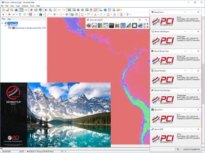
- Fast Dynamic Basemaps in Focus: Web Map Tile Service (WMTS) support added for high quality basemap / backdrop in Geomatica.
- Stable Reflector Detection for InSAR: A new function that can be used to detect stable reflectors (permanent scattering candidates).
- Spatially Varying Automatic Point Pruning: Spatially prune Groud Control Points (GCPs) to achieve a more complete coverage of image extents, withough overwhelming a particular area.
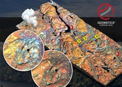
PCI Geomaticafeatures tools for remote sensing, digital photogrammetry, geospatial analysis, mosaicking, and more that can be deployed through the Geomatica desktop, Python workflows, or through large-volume-production GXL systems. The 2018 release introduces Analysis Ready Data (ARD) tools, which addresses critical requirements for performing authoritative and scientifically accurate single-image analysis and multitemporal analytics.
With the new ARD tools, customers can perform radiometric normalization and geometric alignment of large stacks of images through scalable and automated workflows. There is also support for the Committee on Earth Observation Satellites (CEOS) Open Data Cube (ODC), which provides organizations with a unique opportunity to leverage deep catalogs of historical satellite imagery to gain multi-temporal insights.
Learn about the great new technology in Geomatica 2018 and GXL 2018. The webinars begin with an overview of the new technology followed by in-depth sessions on select topics.
PCI Geomaticsis a world-leading developer of software and systems for remote sensing, imagery processing, and photogrammetry. With more than 30 years of experience in the geospatial industry, PCI is recognized globally for its excellence in providing software for accurately and rapidly processing satellite and aerial imagery. There are more than 30,000 PCI licenses, in over 150 countries worldwide.
Product:PCI Geomatica
Version:Banff Edition 2020 SP2 (build 20200729)
Supported Architectures:x64
Website Home Page :www.pcigeomatics.com
Languages Supported:english
System Requirements:Windows *
Size:1.1 Gb
system.png

Download From UploadCloud
https://www.uploadcloud.pro/4uxetrmp4fjj/tgoac.rar.html
![rapidgator]()
https://rapidgator.net/file/49466163bfbe13606c9e45533a287d79/tgoac.rar.html
https://www.uploadcloud.pro/4uxetrmp4fjj/tgoac.rar.html

https://rapidgator.net/file/49466163bfbe13606c9e45533a287d79/tgoac.rar.html
Please Help Me Click Connect Icon Below Here and Share News to Social Network | Thanks you !
⚠️ Dead Link ?
You may submit a re-upload request using the search feature.
All requests are reviewed in accordance with our Content Policy.
Discovering free software download can be a game-changer for users looking to enhance their digital experience without breaking the bank. These platforms offer a vast array of software free download options, covering everything from productivity tools to entertainment applications. The beauty of these sites is not just the price (or lack thereof) but also the variety and accessibility they provide, ensuring that there's something for every type of user.
Comments (0)
Users of Guests are not allowed to comment this publication.